
Aricera topographic map
Interactive map
Click on the map to display elevation.
About this map
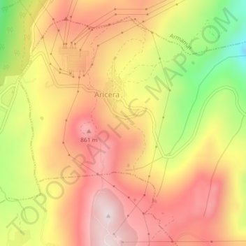
Name: Aricera topographic map, elevation, terrain.
Location: Aricera, Aricera e Goujoim, Armamar, Viseu, Portugal (41.08316 -7.67050 41.10649 -7.64163)
Average elevation: 708 m
Minimum elevation: 422 m
Maximum elevation: 900 m
Other topographic maps
Click on a map to view its topography, its elevation and its terrain.