
双山岛 topographic map
Interactive map
Click on the map to display elevation.
About this map
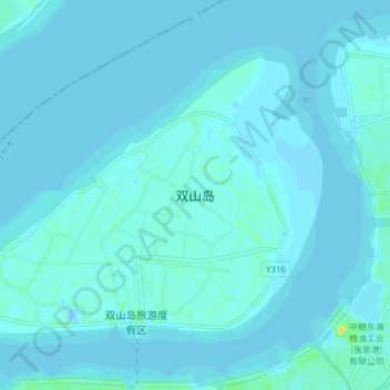
Name: 双山岛 topographic map, elevation, terrain.
Location: 双山岛, 张家港市, 苏州市, 江苏省, 中国 (31.97633 120.36951 32.02246 120.44636)
Average elevation: 2 m
Minimum elevation: -5 m
Maximum elevation: 28 m
Other topographic maps
Click on a map to view its topography, its elevation and its terrain.