
Grande Plage topographic map
Interactive map
Click on the map to display elevation.
About this map
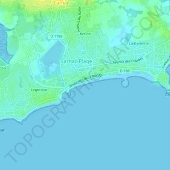
Name: Grande Plage topographic map, elevation, terrain.
Average elevation: 3 m
Minimum elevation: -1 m
Maximum elevation: 20 m
Other topographic maps
Click on a map to view its topography, its elevation and its terrain.
La Grande Metairie
France > Bretagne > Carnac > La Grande Metairie
La Grande Metairie, Carnac, Lorient, Morbihan, Bretagne, France métropolitaine, 56340, France
Average elevation: 14 m