
Steinmandl topographic map
Interactive map
Click on the map to display elevation.
About this map
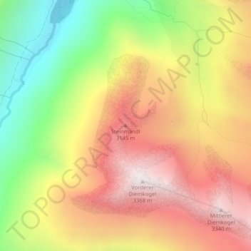
Name: Steinmandl topographic map, elevation, terrain.
Location: Steinmandl, Sölden, Bezirk Imst, 6458, Österreich (46.81693 10.92036 46.81703 10.92046)
Average elevation: 2,768 m
Minimum elevation: 2,099 m
Maximum elevation: 3,354 m
Other topographic maps
Click on a map to view its topography, its elevation and its terrain.
Hochsölden
Österreich > Bezirk Imst > Sölden
Hochsölden, Sölden, Bezirk Imst, 6450, Österreich
Average elevation: 2,068 m
Zuckerhütl
Österreich > Bezirk Imst > Sölden
Zuckerhütl, Sölden, Bezirk Imst, Österreich
Average elevation: 3,106 m
Hochgurgl
Österreich > Bezirk Imst > Sölden
Hochgurgl, Sölden, Bezirk Imst, 6456, Österreich
Average elevation: 2,277 m