
秦安县 topographic map
Interactive map
Click on the map to display elevation.
About this map
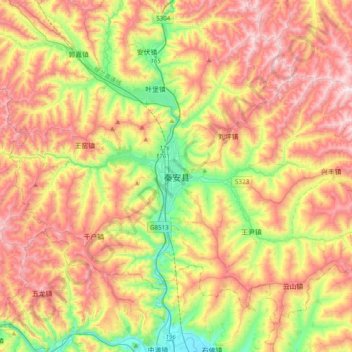
Name: 秦安县 topographic map, elevation, terrain.
Location: 秦安县, 兴国镇, 秦安县, 天水市, 甘肃省, 中国 (34.69999 105.50575 35.01999 105.82575)
Average elevation: 1,546 m
Minimum elevation: 1,143 m
Maximum elevation: 1,974 m