
Thank you for supporting this site ❤️
Make a donation
Make a donation
Lamont topographic map
Click on the map to display elevation.
Thank you for supporting this site ❤️
Make a donation
Make a donation
About this map
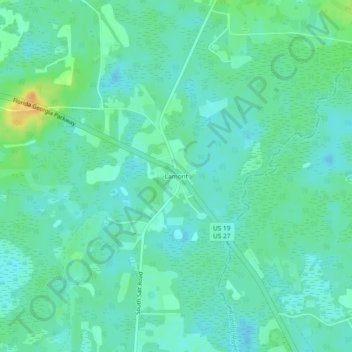
Name: Lamont topographic map, elevation, terrain.
Location: Lamont, Jefferson County, Florida, United States (30.35748 -83.83369 30.39748 -83.79369)
Average elevation: 25 m
Minimum elevation: 16 m
Maximum elevation: 48 m
Thank you for supporting this site ❤️
Make a donation
Make a donation
Other topographic maps
Click on a map to view its topography, its elevation and its terrain.