
兰村乡 topographic map
Interactive map
Click on the map to display elevation.
About this map
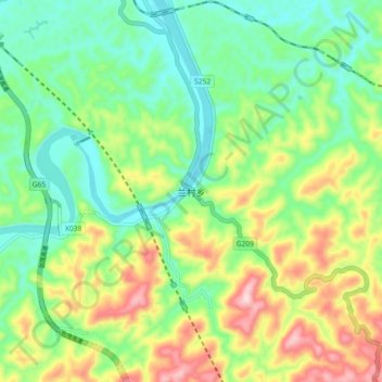
Name: 兰村乡 topographic map, elevation, terrain.
Location: 兰村乡, 麻阳苗族自治县, 怀化市, 湖南省, 中国 (27.76766 109.78048 27.84766 109.86048)
Average elevation: 246 m
Minimum elevation: 137 m
Maximum elevation: 444 m