
Santa Ysabel topographic map
Interactive map
Click on the map to display elevation.
About this map
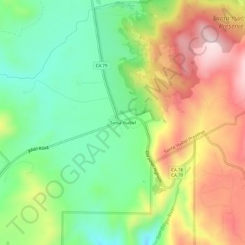
Name: Santa Ysabel topographic map, elevation, terrain.
Location: Santa Ysabel, San Diego County, California, United States (33.08921 -116.69308 33.12921 -116.65308)
Average elevation: 982 m
Minimum elevation: 816 m
Maximum elevation: 1,203 m