
Karang Umpu topographic map
Interactive map
Click on the map to display elevation.
About this map
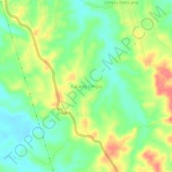
Name: Karang Umpu topographic map, elevation, terrain.
Location: Karang Umpu, Way Kanan, Lampung, Indonesia (-4.54555 104.46339 -4.50555 104.50339)
Average elevation: 80 m
Minimum elevation: 47 m
Maximum elevation: 126 m