
Dahmi Kalan topographic map
Interactive map
Click on the map to display elevation.
About this map
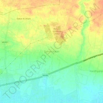
Name: Dahmi Kalan topographic map, elevation, terrain.
Location: Dahmi Kalan, Sanganer Tehsil, Jaipur, Rajasthan, 303007, India (26.81506 75.54309 26.85506 75.58309)
Average elevation: 370 m
Minimum elevation: 351 m
Maximum elevation: 390 m