
达麦乡 topographic map
Interactive map
Click on the map to display elevation.
About this map
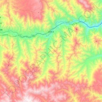
Name: 达麦乡 topographic map, elevation, terrain.
Location: 达麦乡, 夏河县, 甘南藏族自治州, 甘肃省, 中国 (35.07266 102.56349 35.25685 102.72138)
Average elevation: 3,345 m
Minimum elevation: 2,588 m
Maximum elevation: 4,084 m
Other topographic maps
Click on a map to view its topography, its elevation and its terrain.