Inn Gyi အင်းကြီး topographic map
Interactive map
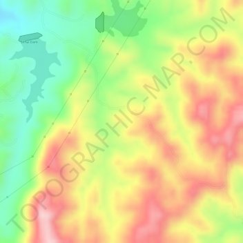
Click on the map to display elevation.
About this map
Name: Inn Gyi အင်းကြီး topographic map, elevation, terrain.
Average elevation: 1,104 m
Minimum elevation: 992 m
Maximum elevation: 1,198 m

Click on the map to display elevation.
Name: Inn Gyi အင်းကြီး topographic map, elevation, terrain.
Average elevation: 1,104 m
Minimum elevation: 992 m
Maximum elevation: 1,198 m