
Mona Lake topographic map
Interactive map
Click on the map to display elevation.
About this map
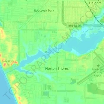
Name: Mona Lake topographic map, elevation, terrain.
Average elevation: 189 m
Minimum elevation: 175 m
Maximum elevation: 212 m
Other topographic maps
Click on a map to view its topography, its elevation and its terrain.
Mona Lake Channel
United States > Michigan > Muskegon County > Norton Shores
Mona Lake Channel, Norton Shores, Muskegon County, Michigan, 49441, United States
Average elevation: 184 m