
Bistupur topographic map
Interactive map
Click on the map to display elevation.
About this map
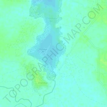
Name: Bistupur topographic map, elevation, terrain.
Location: Bistupur, Udhwa, Sahibganj District, Jharkhand, India (24.88446 87.84702 24.90071 87.86951)
Average elevation: 25 m
Minimum elevation: 20 m
Maximum elevation: 32 m