
Jose Maria Morelos topographic map
Interactive map
Click on the map to display elevation.
About this map
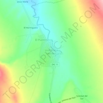
Name: Jose Maria Morelos topographic map, elevation, terrain.
Location: Jose Maria Morelos, Chalchihuites, Zacatecas, México (23.37524 -103.91840 23.41524 -103.87840)
Average elevation: 2,196 m
Minimum elevation: 2,139 m
Maximum elevation: 2,284 m