
Beidha topographic map
Interactive map
Click on the map to display elevation.
About this map
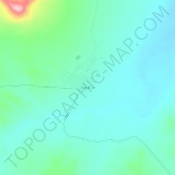
Name: Beidha topographic map, elevation, terrain.
Location: Beidha, Daïra Gueltat Sidi Saâd, Laghouat, 03013, Algérie (34.45354 2.15571 34.49354 2.19571)
Average elevation: 1,023 m
Minimum elevation: 984 m
Maximum elevation: 1,193 m