
Meredosia topographic map
Interactive map
Click on the map to display elevation.
About this map
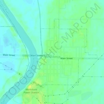
Name: Meredosia topographic map, elevation, terrain.
Location: Meredosia, Morgan County, Illinois, United States (39.82368 -90.56979 39.84096 -90.54432)
Average elevation: 135 m
Minimum elevation: 128 m
Maximum elevation: 146 m