
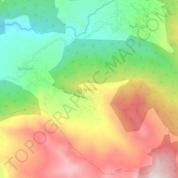
Ait Aicha topographic map
Interactive map
Click on the map to display elevation.
About this map
Name: Ait Aicha topographic map, elevation, terrain.
Location: Ait Aicha, Idjer, Daïra Bouzguen, Tizi Ouzou, 15036, Algérie (36.63239 4.48453 36.67239 4.52453)
Average elevation: 917 m
Minimum elevation: 550 m
Maximum elevation: 1,336 m