
外村 topographic map
Interactive map
Click on the map to display elevation.
About this map
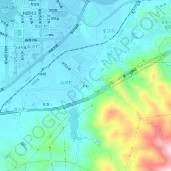
Name: 外村 topographic map, elevation, terrain.
Location: 外村, 三角镇, 梅江区, 梅州市, 广东省, 514000, 中国 (24.23717 116.11755 24.27717 116.15755)
Average elevation: 170 m
Minimum elevation: 72 m
Maximum elevation: 544 m