
宝塔桥街道 topographic map
Interactive map
Click on the map to display elevation.
About this map
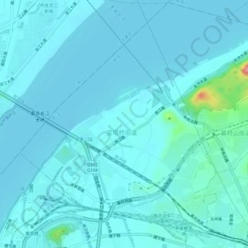
Name: 宝塔桥街道 topographic map, elevation, terrain.
Location: 宝塔桥街道, 鼓楼区, 南京市, 江苏省, 中国 (32.09422 118.73454 32.13443 118.78297)
Average elevation: 12 m
Minimum elevation: 0 m
Maximum elevation: 132 m
Other topographic maps
Click on a map to view its topography, its elevation and its terrain.