
Flower Park, Sabarmati Riverfront topographic map
Interactive map
Click on the map to display elevation.
About this map
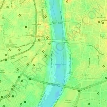
Name: Flower Park, Sabarmati Riverfront topographic map, elevation, terrain.
Average elevation: 51 m
Minimum elevation: 35 m
Maximum elevation: 60 m