
Dennisville topographic map
Interactive map
Click on the map to display elevation.
About this map
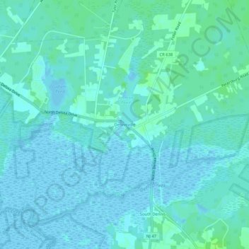
Name: Dennisville topographic map, elevation, terrain.
Average elevation: 3 m
Minimum elevation: -4 m
Maximum elevation: 11 m
Other topographic maps
Click on a map to view its topography, its elevation and its terrain.
Maple Swamp
United States > New Jersey > Cape May County > Dennis Township
Maple Swamp, Dennis Township, Cape May County, New Jersey, 08230, United States
Average elevation: 2 m