
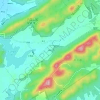
徐村 topographic map
Interactive map
Click on the map to display elevation.
About this map
Name: 徐村 topographic map, elevation, terrain.
Location: 徐村, 善厚镇, 和县, 马鞍山市, 安徽省, 238200, 中国 (31.79269 118.17819 31.83269 118.21819)
Average elevation: 97 m
Minimum elevation: 25 m
Maximum elevation: 268 m
Other topographic maps
Click on a map to view its topography, its elevation and its terrain.