
梁洼 topographic map
Interactive map
Click on the map to display elevation.
About this map
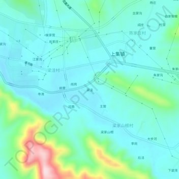
Name: 梁洼 topographic map, elevation, terrain.
Location: 梁洼, 淅川县, 南阳市, 河南省, 中国 (33.08039 111.50943 33.12039 111.54943)
Average elevation: 238 m
Minimum elevation: 175 m
Maximum elevation: 493 m
Other topographic maps
Click on a map to view its topography, its elevation and its terrain.