
Little Axe topographic map
Interactive map
Click on the map to display elevation.
About this map
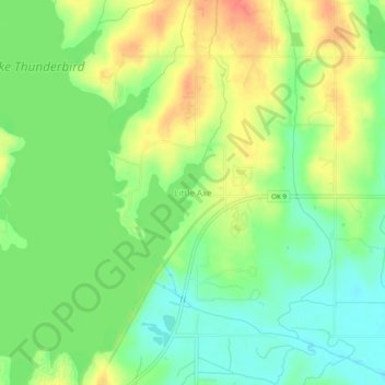
Name: Little Axe topographic map, elevation, terrain.
Average elevation: 321 m
Minimum elevation: 296 m
Maximum elevation: 352 m
Other topographic maps
Click on a map to view its topography, its elevation and its terrain.
Norman
United States > Oklahoma > Cleveland County > Norman
Norman, Cleveland County, Oklahoma, 73069, United States
Average elevation: 356 m