
Gudalur topographic map
Interactive map
Click on the map to display elevation.
About this map
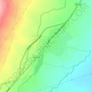
Name: Gudalur topographic map, elevation, terrain.
Average elevation: 466 m
Minimum elevation: 415 m
Maximum elevation: 548 m
Other topographic maps
Click on a map to view its topography, its elevation and its terrain.
Chinnamanur
India > Tamil Nadu > Uthamapalayam
Chinnamanur, Uthamapalayam, Theni District, Tamil Nadu, 626515, India
Average elevation: 373 m