
Empfertshausen topographic map
Interactive map
Click on the map to display elevation.
About this map
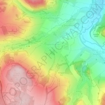
Name: Empfertshausen topographic map, elevation, terrain.
Location: Empfertshausen, Wartburgkreis, Thuringia, Germany (50.64422 10.05637 50.68076 10.11217)
Average elevation: 510 m
Minimum elevation: 366 m
Maximum elevation: 668 m