
Thank you for supporting this site ❤️
Make a donation
Make a donation
Hochplatte topographic map
Click on the map to display elevation.
Thank you for supporting this site ❤️
Make a donation
Make a donation
About this map
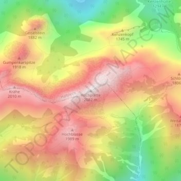
Name: Hochplatte topographic map, elevation, terrain.
Location: Hochplatte, Halblech, Landkreis Ostallgäu, Bayern, Deutschland (47.55222 10.84200 47.55232 10.84210)
Average elevation: 1,646 m
Minimum elevation: 1,151 m
Maximum elevation: 2,053 m
Thank you for supporting this site ❤️
Make a donation
Make a donation