
Kalgo topographic map
Interactive map
Click on the map to display elevation.
About this map
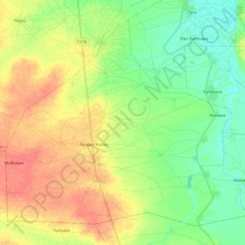
Name: Kalgo topographic map, elevation, terrain.
Location: Kalgo, Sabon Birni, Sokoto State, Nigeria (13.30062 6.20993 13.46201 6.40640)
Average elevation: 325 m
Minimum elevation: 303 m
Maximum elevation: 352 m