
Thank you for supporting this site ❤️
Make a donation
Make a donation
Burda topographic map
Click on the map to display elevation.
Thank you for supporting this site ❤️
Make a donation
Make a donation
About this map
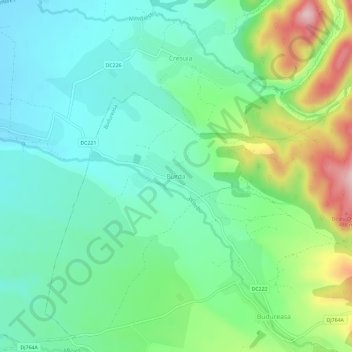
Name: Burda topographic map, elevation, terrain.
Location: Burda, Budureasa, Bihor, 417101, Romania (46.67513 22.45895 46.71513 22.49895)
Average elevation: 341 m
Minimum elevation: 274 m
Maximum elevation: 505 m
Thank you for supporting this site ❤️
Make a donation
Make a donation