
Lovelock topographic map
Interactive map
Click on the map to display elevation.
About this map
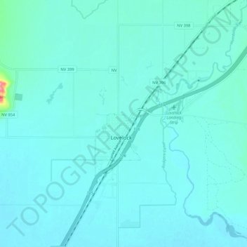
Name: Lovelock topographic map, elevation, terrain.
Location: Lovelock, Pershing County, Nevada, 89417, United States (40.14474 -118.51377 40.22474 -118.43377)
Average elevation: 1,214 m
Minimum elevation: 1,202 m
Maximum elevation: 1,339 m