
İnpiri topographic map
Interactive map
Click on the map to display elevation.
About this map
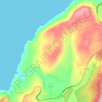
Name: İnpiri topographic map, elevation, terrain.
Location: İnpiri, Amasra, Bartın, Black Sea Region, Turkey (41.73483 32.41984 41.77252 32.44990)
Average elevation: 145 m
Minimum elevation: 0 m
Maximum elevation: 392 m