
Oakdale topographic map
Interactive map
Click on the map to display elevation.
About this map
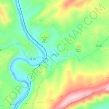
Name: Oakdale topographic map, elevation, terrain.
Location: Oakdale, Morgan County, Tennessee, 37749, United States (35.96563 -84.57327 36.00563 -84.53327)
Average elevation: 341 m
Minimum elevation: 224 m
Maximum elevation: 521 m