
Hillsdale topographic map
Interactive map
Click on the map to display elevation.
About this map
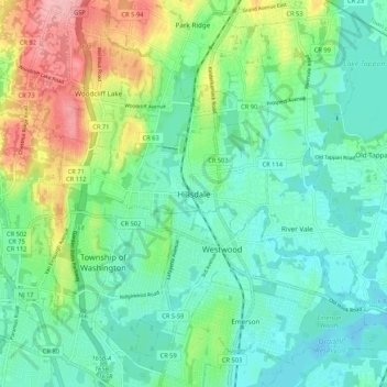
Name: Hillsdale topographic map, elevation, terrain.
Location: Hillsdale, Bergen County, New Jersey, 07642, United States (40.96260 -74.08042 41.04260 -74.00042)
Average elevation: 40 m
Minimum elevation: 3 m
Maximum elevation: 132 m