
Alcarràs topographic map
Interactive map
Click on the map to display elevation.
About this map
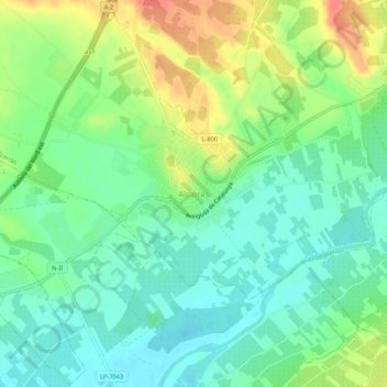
Name: Alcarràs topographic map, elevation, terrain.
Location: Alcarràs, Segriá, Lérida, Cataluña, 25180, España (41.54326 0.50404 41.58326 0.54404)
Average elevation: 133 m
Minimum elevation: 112 m
Maximum elevation: 169 m