
Söğüt topographic map
Interactive map
Click on the map to display elevation.
About this map
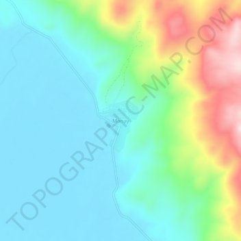
Name: Söğüt topographic map, elevation, terrain.
Location: Söğüt, Korkuteli, Antalya, Mediterranean Region, Turkey (37.05635 29.89499 37.09635 29.93499)
Average elevation: 1,496 m
Minimum elevation: 1,398 m
Maximum elevation: 1,767 m