
Thank you for supporting this site ❤️
Make a donation
Make a donation
Kaziranga topographic map
Click on the map to display elevation.
Thank you for supporting this site ❤️
Make a donation
Make a donation
About this map
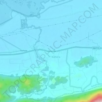
Name: Kaziranga topographic map, elevation, terrain.
Location: Kaziranga, Kohara, Bokakhat, Golaghat, Assam, 785609, India (26.56925 93.38847 26.60925 93.42847)
Average elevation: 93 m
Minimum elevation: 70 m
Maximum elevation: 398 m
Thank you for supporting this site ❤️
Make a donation
Make a donation