
Napoleon topographic map
Interactive map
Click on the map to display elevation.
About this map
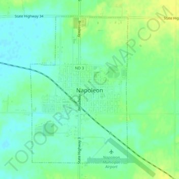
Name: Napoleon topographic map, elevation, terrain.
Location: Napoleon, Logan County, North Dakota, 58561, United States (46.49346 -99.77980 46.51569 -99.75836)
Average elevation: 600 m
Minimum elevation: 591 m
Maximum elevation: 610 m