
热帮乡 topographic map
Interactive map
Click on the map to display elevation.
About this map
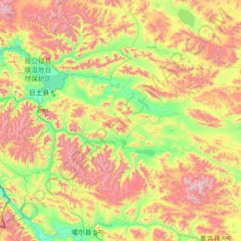
Name: 热帮乡 topographic map, elevation, terrain.
Location: 热帮乡, 日土县, 阿里地区, 西藏自治区, 中国 (32.53726 80.14698 33.95675 82.11250)
Average elevation: 4,935 m
Minimum elevation: 4,185 m
Maximum elevation: 6,696 m
Other topographic maps
Click on a map to view its topography, its elevation and its terrain.