
Malavenda topographic map
Interactive map
Click on the map to display elevation.
About this map
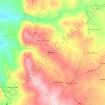
Name: Malavenda topographic map, elevation, terrain.
Average elevation: 297 m
Minimum elevation: 97 m
Maximum elevation: 437 m
Other topographic maps
Click on a map to view its topography, its elevation and its terrain.
Senhor das Almas
Senhor das Almas, Soure, Coimbra, 3130-519, Portugal
Average elevation: 32 m
Vinha da Rainha
Vinha da Rainha, Soure, Coimbra, 3130-435, Portugal
Average elevation: 46 m