
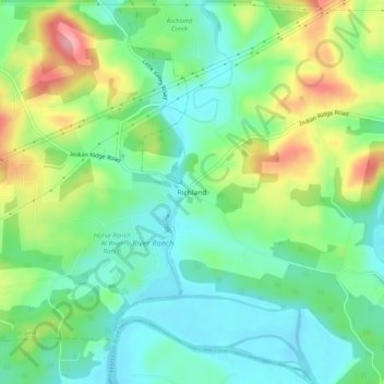
Richland topographic map
Interactive map
Click on the map to display elevation.
About this map
Name: Richland topographic map, elevation, terrain.
Location: Richland, Grainger County, Tennessee, 37709, United States (36.11759 -83.68546 36.15759 -83.64546)
Average elevation: 303 m
Minimum elevation: 262 m
Maximum elevation: 382 m