
Moniat topographic map
Interactive map
Click on the map to display elevation.
About this map
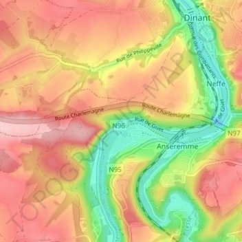
Name: Moniat topographic map, elevation, terrain.
Location: Moniat, Anseremme, Dinant, Namur, Wallonie, 5500, Belgique (50.22213 4.87324 50.26213 4.91324)
Average elevation: 176 m
Minimum elevation: 75 m
Maximum elevation: 254 m