
庵杰乡 topographic map
Interactive map
Click on the map to display elevation.
About this map
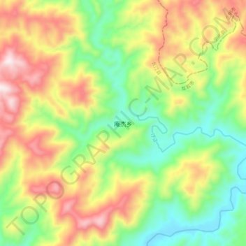
Name: 庵杰乡 topographic map, elevation, terrain.
Location: 庵杰乡, 龙岩市, 福建省, 中国 (25.91788 116.42190 25.99788 116.50190)
Average elevation: 664 m
Minimum elevation: 356 m
Maximum elevation: 1,072 m