
Thank you for supporting this site ❤️
Make a donation
Make a donation
Mayaguana topographic map
Click on the map to display elevation.
Thank you for supporting this site ❤️
Make a donation
Make a donation
About this map
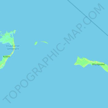
Name: Mayaguana topographic map, elevation, terrain.
Location: Mayaguana, The Bahamas (22.19931 -73.83042 22.75600 -72.57950)
Average elevation: 0 m
Minimum elevation: -2 m
Maximum elevation: 32 m
Thank you for supporting this site ❤️
Make a donation
Make a donation
Other topographic maps
Click on a map to view its topography, its elevation and its terrain.