
Egham topographic map
Click on the map to display elevation.
About this map
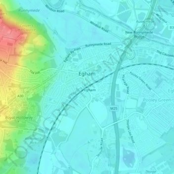
Name: Egham topographic map, elevation, terrain.
Location: Egham, Borough of Runnymede, Surrey, England, United Kingdom (51.42219 -0.56124 51.43615 -0.53753)
Average elevation: 25 m
Minimum elevation: 10 m
Maximum elevation: 88 m