
Thank you for supporting this site ❤️
Make a donation
Make a donation
Xinhua County topographic map
Click on the map to display elevation.
Thank you for supporting this site ❤️
Make a donation
Make a donation
About this map
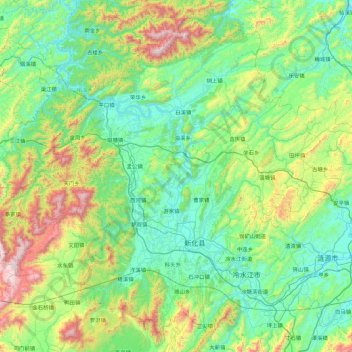
Name: Xinhua County topographic map, elevation, terrain.
Location: Xinhua County, Loudi, Hunan, China (27.52735 110.76509 28.23868 111.68647)
Average elevation: 461 m
Minimum elevation: 129 m
Maximum elevation: 1,599 m
Thank you for supporting this site ❤️
Make a donation
Make a donation
Other topographic maps
Click on a map to view its topography, its elevation and its terrain.