
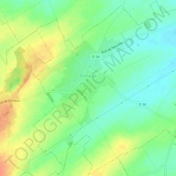
Ficheux topographic map
Interactive map
Click on the map to display elevation.
About this map
Name: Ficheux topographic map, elevation, terrain.
Average elevation: 98 m
Minimum elevation: 80 m
Maximum elevation: 122 m
L'altitude s'étend de 78 à 113 mètres. Le climat est océanique avec des étés tempérés.