
Bellerive topographic map
Interactive map
Click on the map to display elevation.
About this map
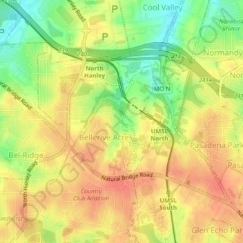
Name: Bellerive topographic map, elevation, terrain.
Location: Bellerive, Saint Louis County, Missouri, United States (38.70688 -90.31895 38.71950 -90.30624)
Average elevation: 186 m
Minimum elevation: 155 m
Maximum elevation: 206 m