
Ben Arous topographic map
Interactive map
Click on the map to display elevation.
About this map
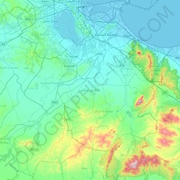
Name: Ben Arous topographic map, elevation, terrain.
Location: Ben Arous, Tunisia (36.44644 10.04295 36.81255 10.41874)
Average elevation: 129 m
Minimum elevation: -5 m
Maximum elevation: 748 m