
Kolhua topographic map
Interactive map
Click on the map to display elevation.
About this map
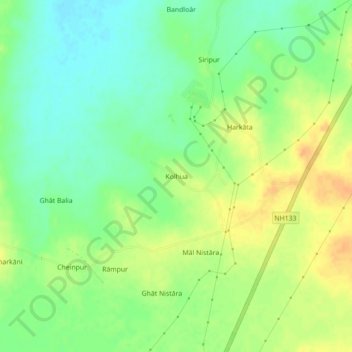
Name: Kolhua topographic map, elevation, terrain.
Location: Kolhua, Pathargama, Godda, Jharkhand, India (24.88998 87.21855 24.92998 87.25855)
Average elevation: 75 m
Minimum elevation: 58 m
Maximum elevation: 93 m